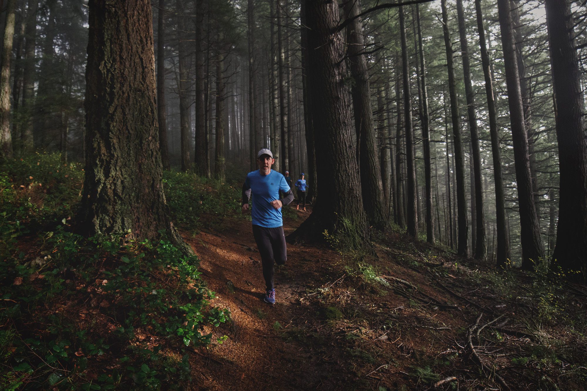
The Chuckanut Ridge Trail is perhaps the most fun, scenic and challenging trails for running in the Bellingham area. The centerpiece of the annual Chuckanut 50K this trail offers dips, doodles, drops as well as some awesome views and some awesome challenges. This is why you’re a trail runner.
Getting there
Head south from Fairhaven on Chuckanut Drive for about 4 miles to Hiline Road just before to milepost 16. Take a left, cross the Interurban Trail, and follow the now-gravel road (now called Cleator Road) for about 2.1 miles. Park at the small, easy-to-miss pullout on the right; you’ll know it because across the road is a trail leading into the woods—that’s where you’ll come out after running the Ridge Trail.
The Trail
All right, we’ll get the not-so-interesting part out of the way first. Run south (UP) Cleator Road for about 1.5 miles almost to the end. At the Lost Lake Overlook sign, run left and enter the thick woods and Chuckanut Ridge zone. Fasten your seat belts; it’s gonna be a bumpy ride.
Over the next 2.3 miles, the narrow but easy-to-follow, rock- and root-studded trail snakes along Chuckanut Mountain’s spine, at times offering great views of Mount Baker and the Twin Sisters. Caution: Ridge Trail runs along the top of a 200-foot-high sandstone cliff and some stretches are perilously close the edge so unless you’re the one human being with the ability to fly, don’t bear too far to the right.
Continue north climbing rocky and rooty stretches with hands as well as feet, downclimbing backwards at others. Enjoy. Have fun. Get dirty. At about 3.8 miles go left on an unsigned trail that’s easy to follow. (If you continue straight—north—you’ll hit the connector trail to the Lost Lake Trail in another three-quarters of a mile.)
This is the West Spur Chuckanut Ridge Trail. After at first dropping quickly, the forested trail levels out and leads back to Cleator Road—across from where you parked in a little less than a mile.

